Location
Geotagged photos: what the location really proves
A photo's GPS position can be changed in a minute, and it is only an estimate anyway. How to read it, with what accuracy, and how to make it verifiable.
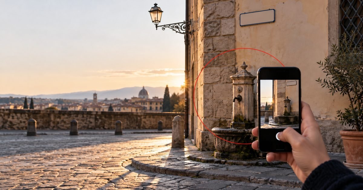
"The photo is geotagged, so it proves I was there." That conclusion needs some caution. The location stored in a photo does say something, but less than people think, and it has to be read carefully: how accurate it is, where it came from, and what guarantee there is that nobody has changed it.
Where location data is stored
When you take a photo with location services enabled, the phone writes the latitude and longitude into the file's EXIF metadata, alongside the date and the camera model. These are text fields inside the file: anyone can read them, and with a free app anyone can rewrite them, moving the photo to the other side of the world without touching a pixel (see the guide on EXIF metadata).
There is also a second, subtler limit: even when nobody has touched it, the location is an estimate.
Accuracy: a circle, not a point
The phone works out its position by combining satellites, Wi-Fi networks and mobile masts, and alongside the position it reports an accuracy value in metres: the radius within which the true point most likely lies. Outdoors it can be a few metres; inside a building or between tall blocks, tens of metres. A photo that says "I am here" without saying "give or take how much" provides incomplete information.
So when the location matters, record it with its accuracy and, where possible, with a recognisable landmark in the frame: a house number, a sign, a number plate, a distinctive building. Read the coordinates alongside what the image shows: when both point to the same place, each supports the other.
What LOCUS records, and what it does not
When you capture with LOCUS, the location is not just an EXIF field: it goes into the sealed package together with the accuracy reported by the device, the source of the fix, the address derived from the coordinates (via OpenStreetMap) and a map. For video, the location is recorded along the route. All of it is covered by the package fingerprint, the device signature and timestamps from independent authorities, including a qualified eIDAS timestamp: once the package is sealed, changing the location makes verification fail.
LOCUS does have a limitation to keep in mind. It records the position the phone gives it: it does not detect location data falsified on the device before capture, for example by apps that simulate GPS. The seal guarantees that this position, with this accuracy, was recorded at that moment and has not changed since; it does not guarantee that the phone was telling the truth. That is one more reason why a recognisable landmark in the image remains valuable.
What about privacy?
A photo's location can reveal where you live, where you work, who you were following. In the LOCUS model the content never leaves the phone, and the public verification page shows neither the location nor the image: it only shows that the package is intact and when it was sealed. Anyone you share the package with can see the location.
In practice
- Do not rely on the EXIF location of an ordinary photo: it can be changed in a minute.
- Always check the accuracy, not just the coordinates. If the reported margin of error is large, step outside or wait a few seconds for it to improve.
- Include a recognisable landmark in the frame: a house number, a sign, a shop front.
- Seal the photo at capture, so the recorded location also has a verifiable time reference.
Read more: a trusted date for a photograph and, for investigators, LOCUS for private investigators.